Drill Site 2H produced Water Spill
- Location
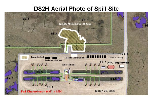
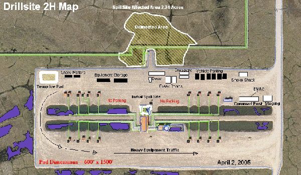
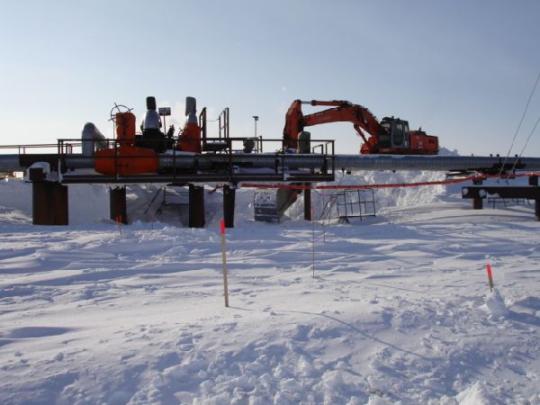
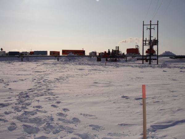
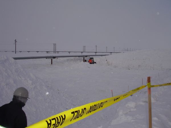
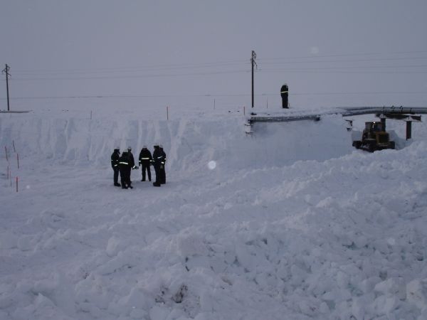
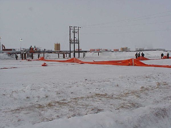
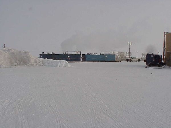
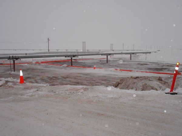
- The release occurred at Drill Site 2H, which is in the Kuparuk oil production field. Kuparuk is approximately 40 miles west of the Prudhoe Bay oil field on the North Slope of Alaska.
- Time/Date
- The release was discovered on Saturday March 26, 2005 at approximately 10:30 AM by ConocoPhillips Alaska, Inc. (CPAI) personnel, and reported to ADEC at 11:05 am by CPAI.
- Spill Id
- 05399908501
- Product/ Quantity
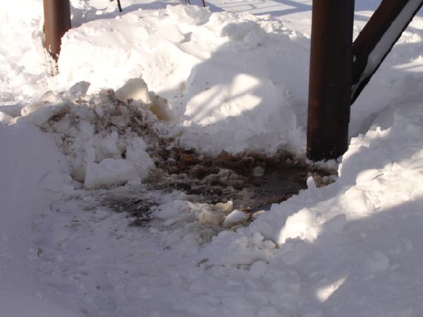
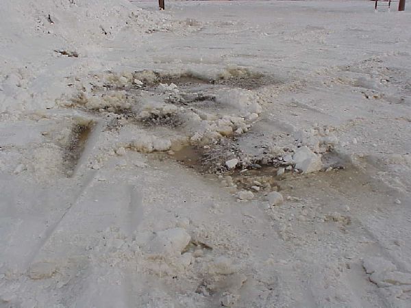
- The initial report from CPAI was that approximately 111,300 gallons (2,650 barrels) of a mixture of 30% seawater and 70% produced water was released to both gravel pad and tundra. Subsequently, additional calculations based on hole size, flow rate, and pressure data analysis has re-evaluated that estimate at a reduced spill volume of 51,198 gallons (1219 barrels). Produced water is a mixture of water and crude oil.
- Cause
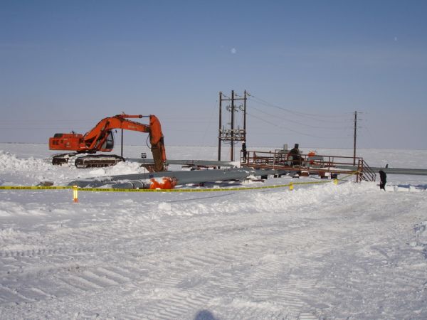
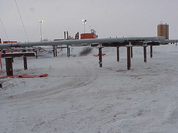
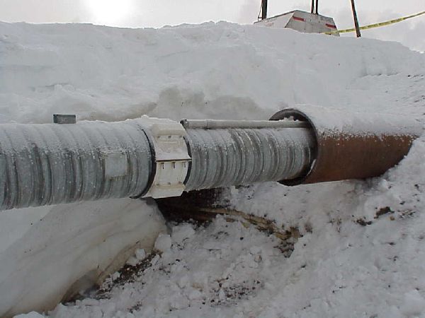
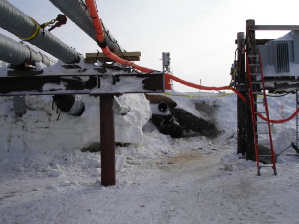
- The source of the spill is a 6-inch produced water/seawater injection line that transports water from the Central Processing Facility #2 (CPF-2) to Drill Site 2H for injection. CPAI reported to ADEC that the cause of the Kuparuk 2H produced water spill was attributed to internal corrosion of the injection water pipeline.
ADEC Situation Reports
Joint Statement Regarding the Drill Site 2H Produced Water Release
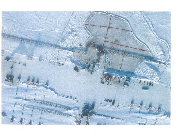
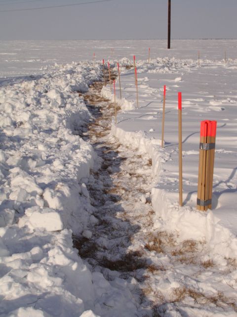
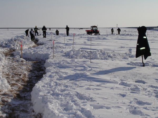
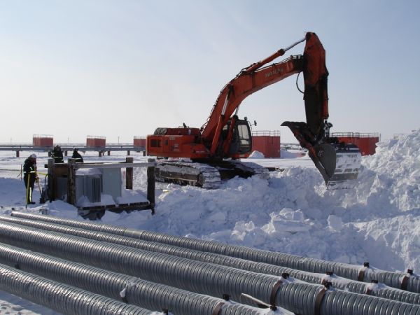
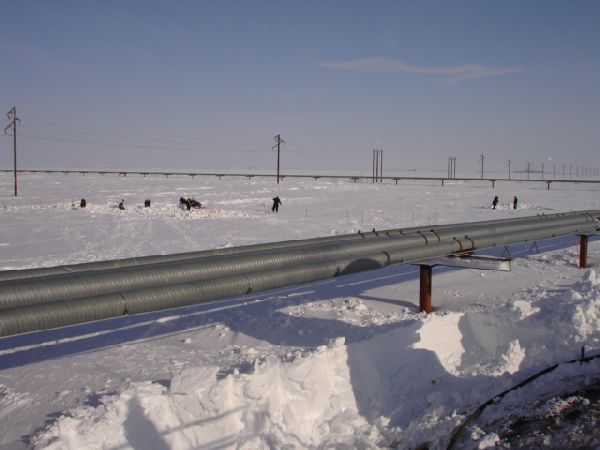
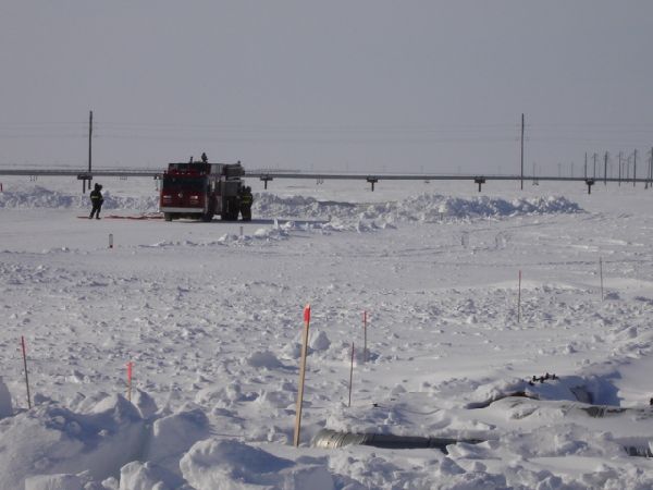
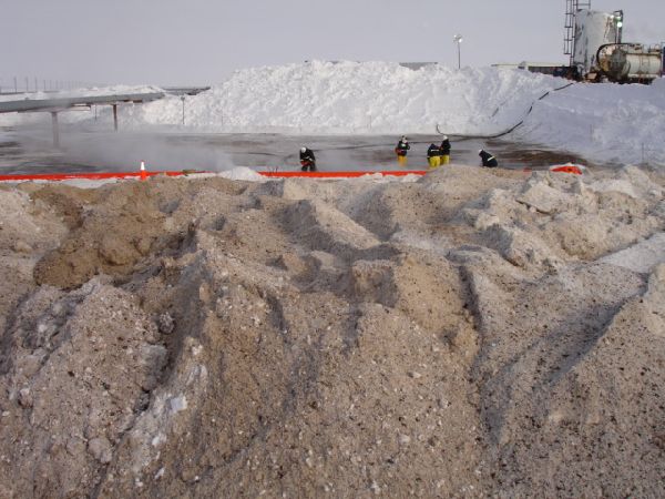
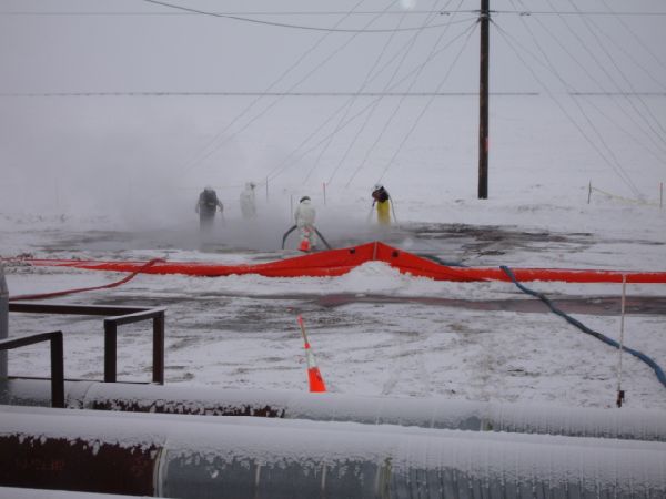
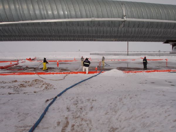
ConocoPhillips Alaska reported to ADEC that the cause of the Kuparuk 2H produced water spill was attributed to internal corrosion of the injection water pipeline. The company has begun a comprehensive investigation, including a technical review of its Kuparuk corrosion and monitoring mitigation program. ConocoPhillips has worked closely with the ADEC on the response and a remediation program for the 2-acre impacted area of the tundra. In past injection water spills the flushing technique has been successful in mitigating any lasting effects. The response will continue until the ADEC concludes that it is complete and the impacted areas clean. A plan was developed which identifies specific tasks that must be accomplished to achieve closure. It is estimated that cleanup will be completed by the end of April 2005.




 Indicates an external site.