F/V Capt'N Andrew
- Location
- Approximately 4.5 miles southeast of King Cove, at the west side of the entrance to Belkofski Bay, at approximately 55° 01.512 N, 162° 13.459 W.
- Time/Date
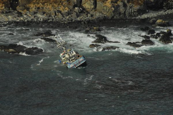
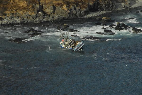
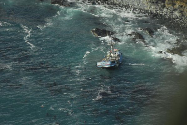
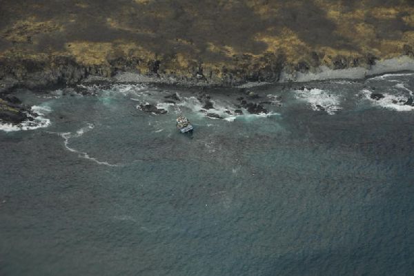
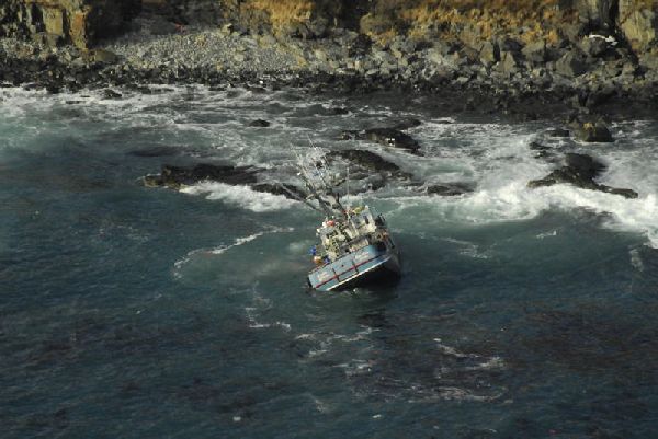
- The 58-foot fishing vessel Capt'N Andrew went aground near Bold Cape/Table Rock, southeast of King Cove, at approximately 6:00 AM on March 6, 2011. ADEC was notified of the incident by the US Coast Guard at 6:40 AM on March 6, 2011.
- Spill Id
- 11259906501
- Product/ Quantity
- The owner of the Capt’ N Andrew reported that approximately 2,000 gallons of diesel fuel and 450 gallons of lube and hydraulic oils were on board when the vessel grounded. In addition, the owner reported that 110,000-120,000 lbs of Pacific cod were in the fish holds of the vessel.
- Cause
- The cause of the incident is under investigation by the US Coast Guard.
ADEC Situation Reports
Photos
Images may be downloaded for free and used in publications provided credit is given to the source.


 Indicates an external site.