Former IRA Fuel Project Tank Farm
- Search for detailed information in the database.
- Database Name: Selawik IRA Fuel Project Former Tank Farm
- Status:
- Location: Selawik
- Latitude: 66.603563
- Longitude: -160.002881
-
Key DBAC Services:
- Areawide Assessment
- Cleanup Planning
- DBACs Awarded: 2011, 2012
- DEC File Number: 500.38.001
DEC contact: IC Unit, 907-465-5229
The area-wide assessment does not have its own database record, but links to the records for the individual sites, including subsequent activities and current status, are below:
Site Narrative
- Requested by Native Village of Selawik
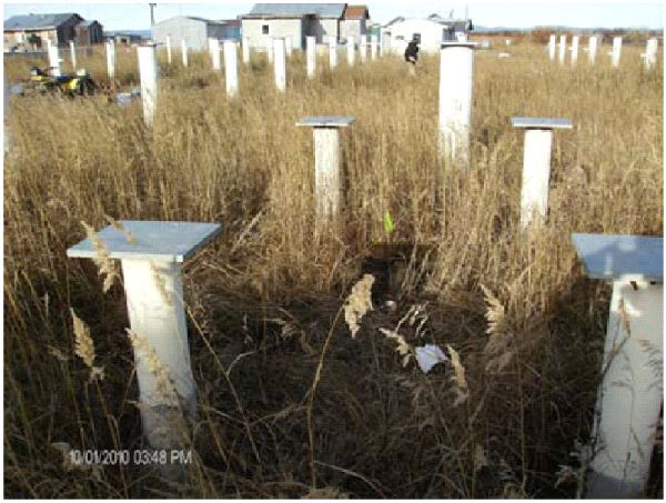
Looking north across the former IRA former tank farm area in 2010.
DBAC services were awarded to conduct assessments of several properties in Selawik: The Indian Reorganization Act (IRA) Fuel Project Former Tank Farm, the Old Alaska Village Electrical Cooperative (AVEC) Tank Farm, and the Barge Landing. An additional site in Selawik already on DEC’s contaminated sites database is the Former School Tank Farm Gravel Pad. DEC determined that the best approach for this community would be an area-wide survey of environmental conditions at the sites of concern, with limited sampling at selected sites.
The assessment of the Former IRA Fuel Former Tank Farm found gasoline range organics (GRO), diesel range organics (DRO), benzene, and other fuel hydrocarbons at concentrations that exceed DEC inhalation, ingestion, and direct contact cleanup levels. Additional DBAC services provided in 2012 focused on an Analyses of Brownfield Cleanup Alternatives (ABCA) for the site. The community worked closely with our Anchorage office staff in determining how best to make the land reusable.
More Information
The area-wide assessment does not have its own database record, but links to the records for the individual sites, including subsequent activities and current status, are below:
- CSP Database Record: Selawik IRA Fuel Project Former Tank Farm
- CSP Database Record: Selawik Old AVEC Tank Farm
- CSP Database Record: Selawik Barge Landing Area
- CSP Database Record: Former School Tank Farm Gravel Pad Selawik