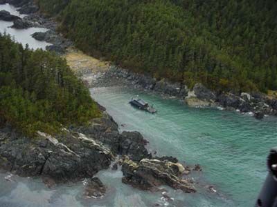
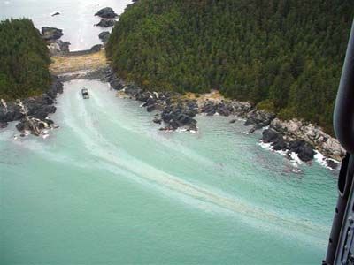
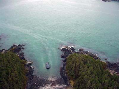
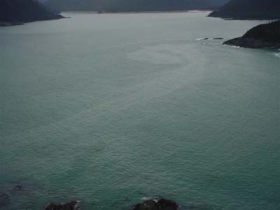
M/V Blue Star Grounding
- Location
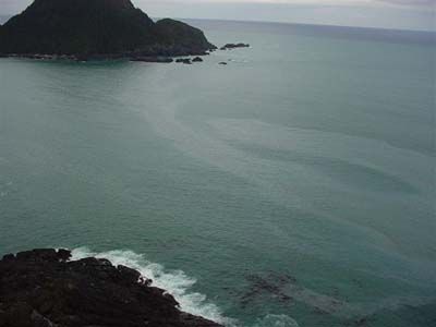
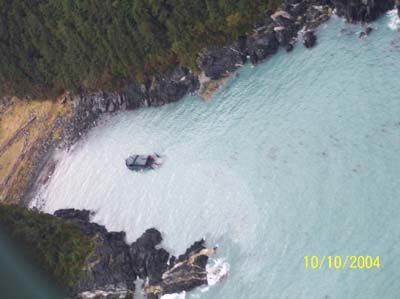
- 58° 19.1’ N., 136°51.5’ W. on the NE side of Sugarloaf Island at the entrance to Dixon Harbor on the outer coast between Cape Spencer and Icy Point. The site is within the boundaries of Glacier Bay National Park and Preserve.
- Time/Date
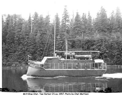
- The vessel grounded at approximately 4:00 PM , October 7, 2004 . Shortly after the USCG MSO Juneau received news of the grounding they notified ADEC via the AST spill report dispatch at 11:20 AM , October 9, 2004 . The MV Blue Star is a 58’, 38 GT catamaran hull vessel which was built in Juneau in 1955.
- Spill Id
- 04119928301
- Product/ Quantity
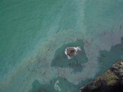
- The owner estimated that up to 1000 gallons of diesel fuel was onboard the vessel. In addition, two 55 gallon drums of gasoline and ten 1 gallon containers of lubrication oils were removed from the vessel to a high point on the adjacent beach. The two drums of gasoline and the lube oil have been recovered.
- Cause
- 58° 19.1’ N., 136°51.5’ W. on the NE side of Sugarloaf Island at the entrance to Dixon Harbor on the outer coast between Cape Spencer and Icy Point. The site is within the boundaries of Glacier Bay National Park and Preserve.
ADEC Situation Reports
Photos
Images may be downloaded for free and used in publications provided credit is given to the source.
October 10, 2004
 Indicates an external site.



 Indicates an external site.