Princess Kathleen
Unified Command
Whenever there is an incident involving more than one agency with jurisdiction, a joint command arrangement, called the Unified Command is implemented. This webpage provides a compilation of general information, reports, press releases, maps and relevant links meant to aid members of the Unified Command and inform the public during a response. Not all information provided here has been jointly approved or endorsed by every member of the Unified Command.
- Location
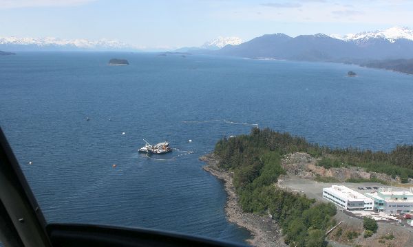
- Point Lena, Favorite Channel, north of Juneau, Alaska
- Time/Date
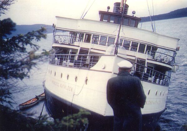
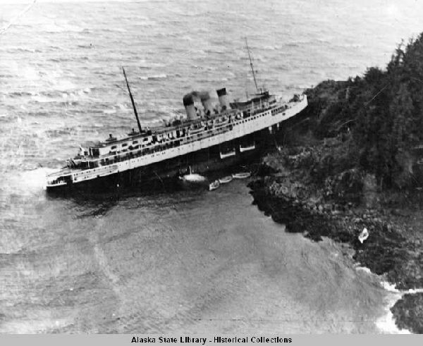
- The S/S Princess Kathleen grounded and sank off Point Lena on September 7, 1952
- Spill Id
- 10119904701
- Product/ Quantity
- The total volume of number 6 bunker oil and other oils on-board the vessel at the time of sinking is unknown. Volume of Bunker Oil and Other Petroleum Products Recovered is 130,000 gallons from 14 of 14 tanks
- Cause
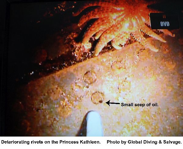
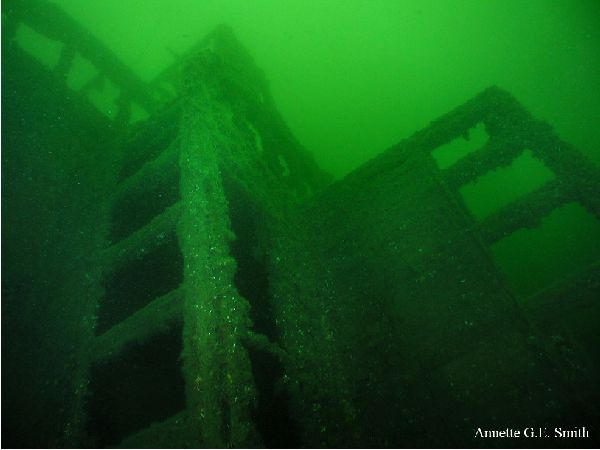
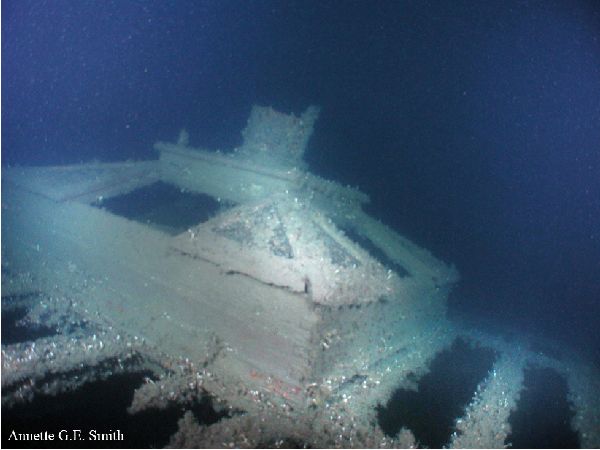
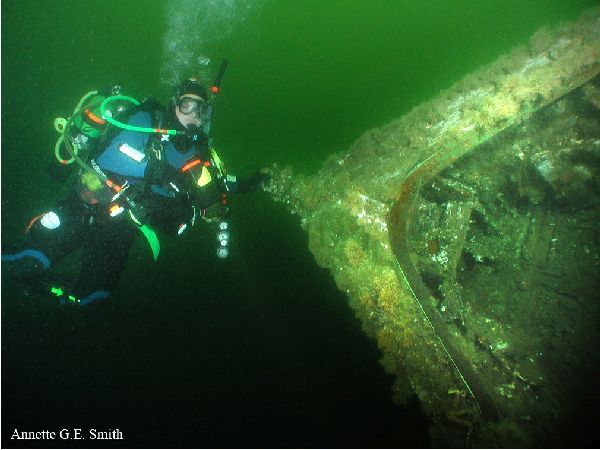
- The 369-foot passenger vessel S/S Princess Kathleen grounded on Point Lena, just north of Juneau, during bad weather on September 7, 1952 and suffered damage to the forward-most section of the bow. As the tide came in, the vessel flooded from the stern and slid off the point. Approximately 10 hours later during an incoming tide she slipped off the rock and sank with an unknown quantity of fuel oil in her tanks. The vessel now sits at an angle on its port side at a depth ranging from 52 feet at the bow to 134 feet at the stern. Since her sinking, periodic fuel releases and oil sheens have been noted in her vicinity.
ADEC Situation Reports
- 06/11/2010 (PDF 40K)
- 05/28/2010 (PDF 43K)
- 05/25/2010 (PDF 124K)
- 05/21/2010 (PDF 40K)
- 05/18/2010 (PDF 287K)
- 05/14/2010 (PDF 260K))
- 05/11/2010 (PDF 161K)
- 05/07/2010 (PDF 92K)
- 05/04/2010 (PDF 97K)
- 04/30/2010 (PDF 268K)
- 04/27/2010 (PDF 386K)
- 04/23/2010 (PDF 41K)
- 04/20/2010 (PDF 354K)
- 04/16/2010 (PDF 23K)
- 04/13/2010 (PDF 104K)
- 04/09/2010 (PDF 24K)
- 04/06/2010 (PDF 127K)
- 04/02/2010 (PDF 251K)
- 03/30/2010 (PDF 397K)
- 03/26/2010 (PDF 36K)
- 03/23/2010 (PDF 133K)
- 03/19/2010 (PDF 158K)
- 03/17/2010 (PDF 150K)
- 03/12/2010 (PDF 131K)
- 03/05/2010 (PDF 236K)
- 03/02/2010 (PDF 236K)
Unified Command Press Releases
- 04/30/2010 -- Divers remove over 10,000 gallons of oil from Princess Kathleen (PDF)
- 04/27/2010 -- Oil removal from fuel tanks commences on Point Lena wreck (PDF)
- 02/26/2010 -- Coast Guard and State of Alaska establish Unified Command for Princess Kathleen assessment (PDF 38K)
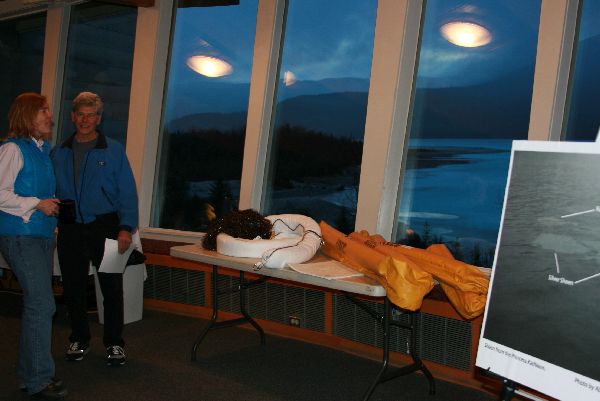
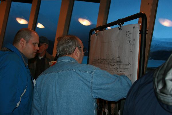
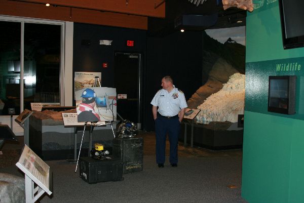
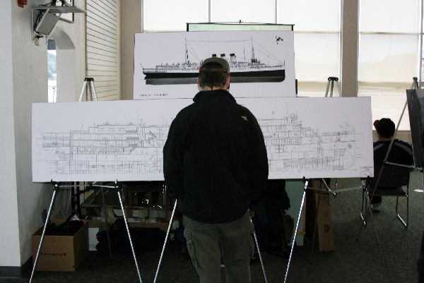
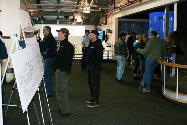
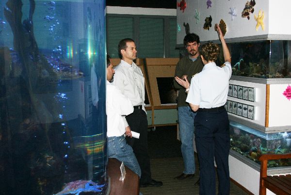
- 03/01/2010 -- Princess Kathleen Assessment Operations Open House (PDF 29K)
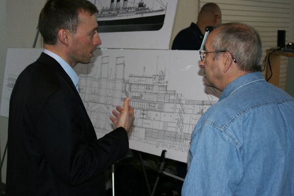
- 03/05/2010 -- Unified Command hosts open house (PDF 108K)
- 03/08/2010 -- Princess Kathleen Assessment Operations delayed (PDF 28K)
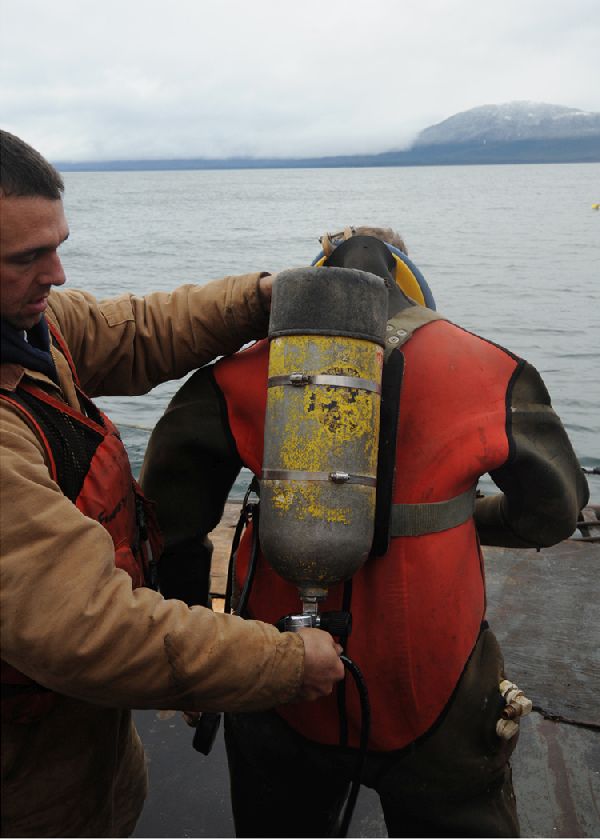
- 03/16/2010 -- Media availability - Princess Kathleen dive operations begin (PDF 33K)
- 04/17/2010 -- Oil removal commences on Point Lena wreck (PDF 28K)
- 04/21/2010 -- Video release: Oil removal commences on Point Lena wreck (PDF 63K)
- 06/01/2010 -- Divers complete oil removal from Princess Kathleen (PDF 23K)
Status Updates
Vessel Model Images
Click below to show/hide content
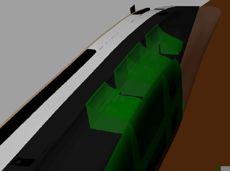
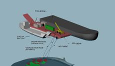
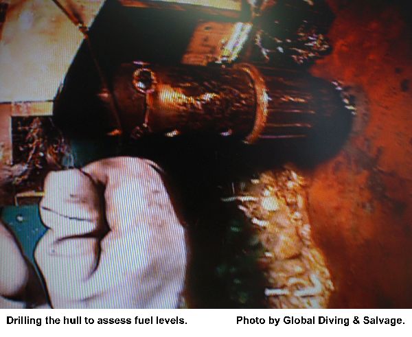
Global Diving & Salvage is developing a dimensional graphic of the Princess Kathleen in her current state. The graphic will assist Global Diving & Salvage during the fuel volume estimation process. The Unified Command will determine, based on the volume estimations, if they will pursue fuel removal.
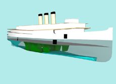
An initial image from a model of the vessel and its fuel tanks (green) which will assist Global Diving in estimating fuel volume on board the Princess Kathleen.
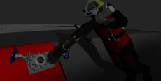
A dimensional model of a global divers holding the equipment used to hot tape the bunker oil fuel tanks. During hot taping, heating elements and circulated warm water heat the oil until it is fluid enough to pump. The oil and warm water are pumped into an intermediate tank where the oil is separated from the water. The bunker oil is then transferred into a barge to await disposal.
Videos
Videos are hosted externally on Vimeo.com
- Removing oil from vessel structure
- The Saga of the Princess Kathleen
- Dive Assessment, Starboard Hull
- Dive Assessment, Starboard Hull
- Dive Assessment - Day 3
- Dive Assessment (March 11)
Presentation
Contact Information
Map
Princess Kathleen Spill Response Map
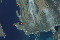
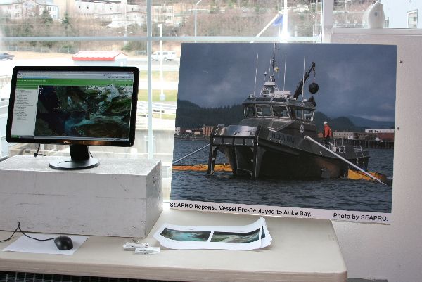
An interactive web map showing priorities identified by State and federal resources agencies for protection of salmon streams in the unlikely event of a large spill from the Princess Kathleen. Response equipment has be pre-positioned near sensitive areas in containers for rapid deployment should a response become necessary. Use the "i"dentify tool in the upper right corner to see information on features of the map. Click the "Help" link for more instructions.
Photos
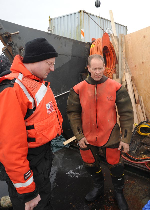
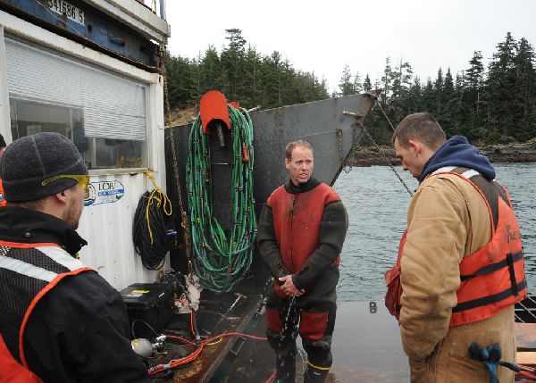
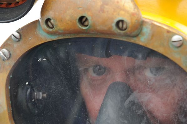
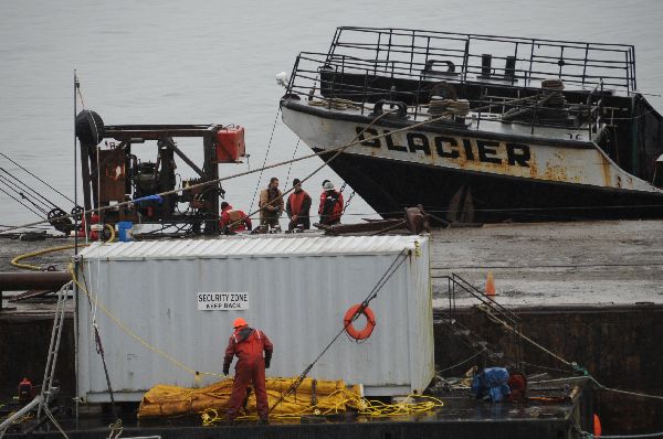
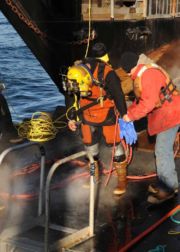
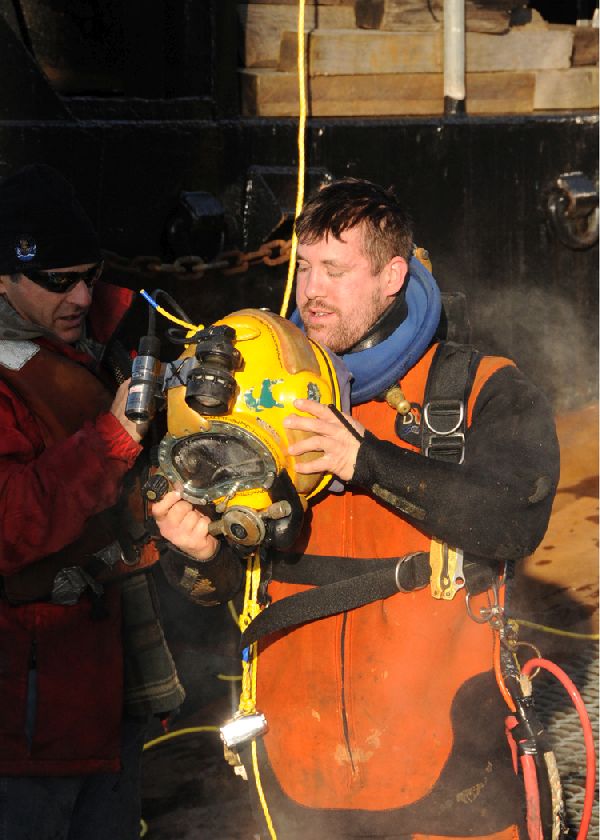
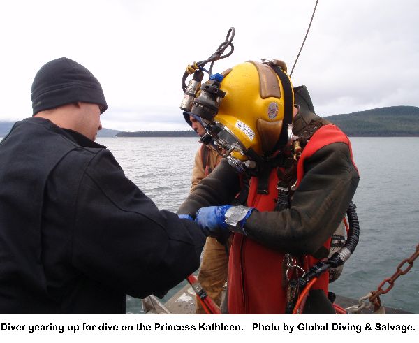
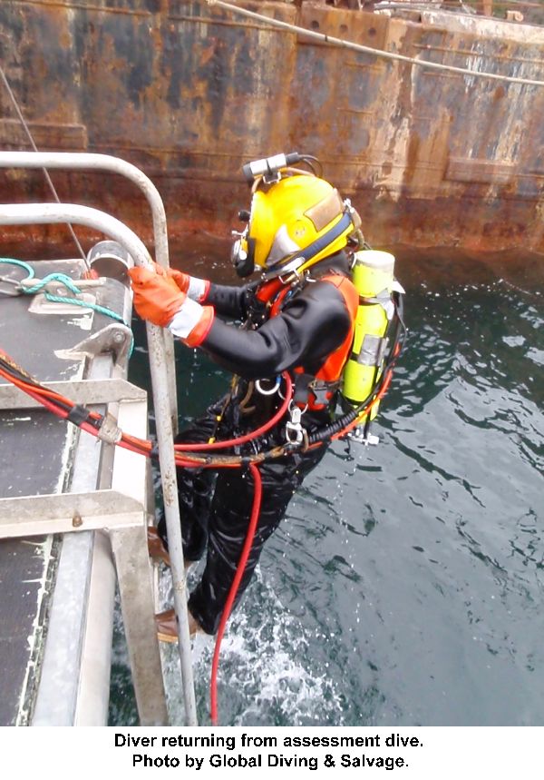
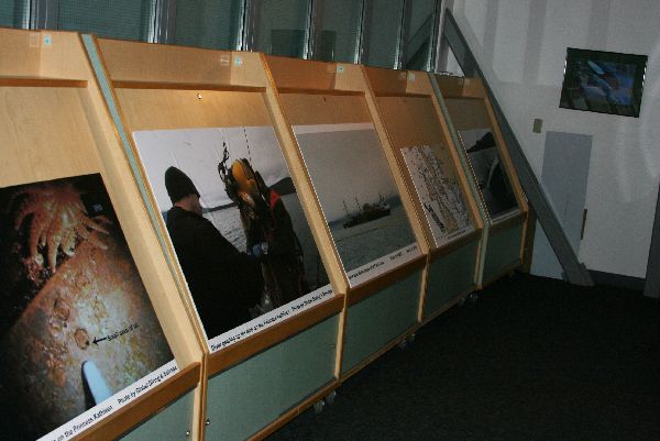
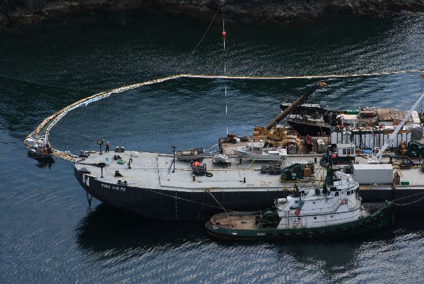
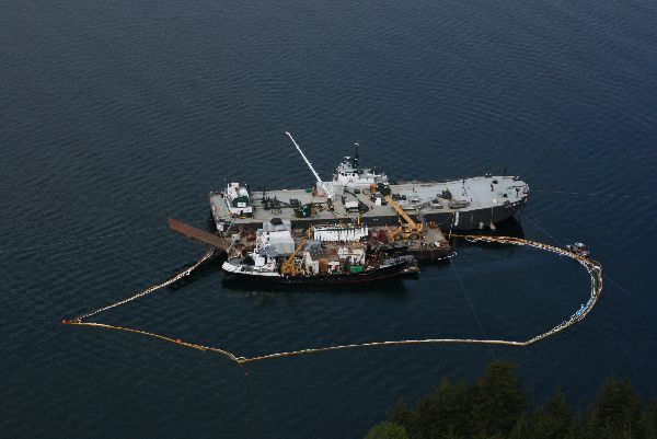
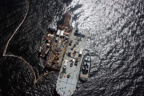
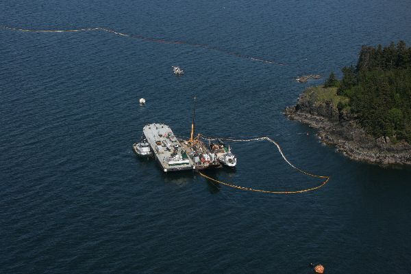
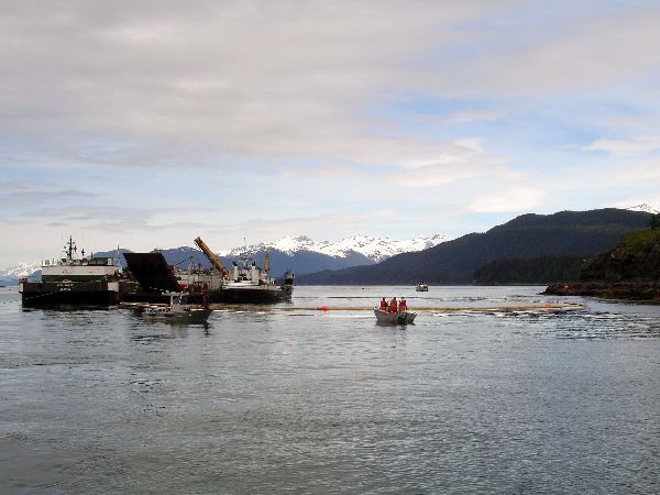
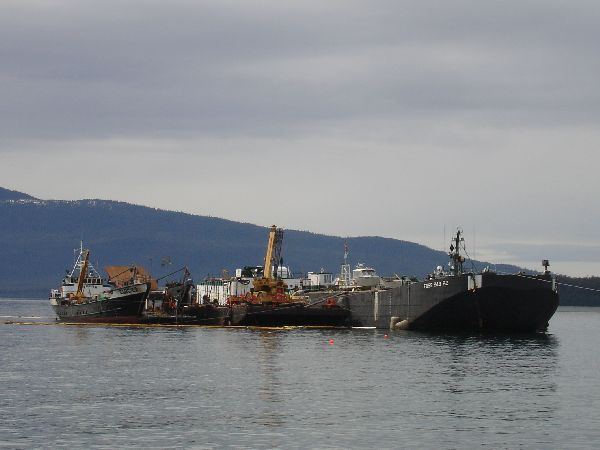
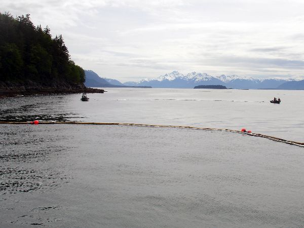
Images may be downloaded for free and used in publications provided credit is given to the source.








 Indicates an external site.