Drift River Terminal Coordination
Unified Command
Whenever there is an incident involving more than one agency with jurisdiction, a joint command arrangement, called the Unified Command is implemented. This webpage provides a compilation of general information, reports, press releases, maps and relevant links meant to aid members of the Unified Command and inform the public during a response. Not all information provided here has been jointly approved or endorsed by every member of the Unified Command.
- Location
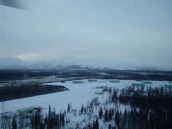
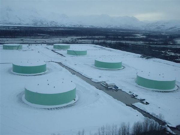
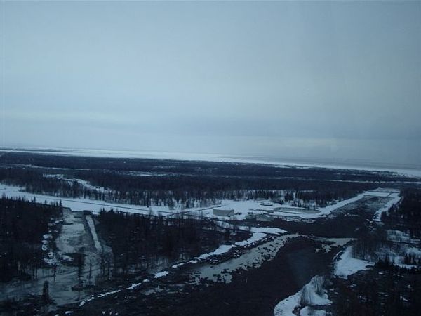
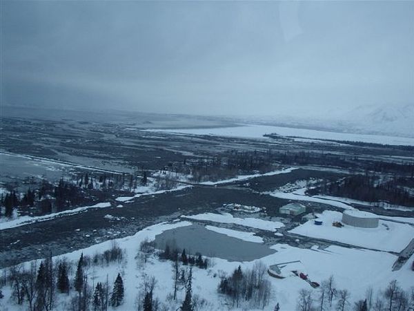
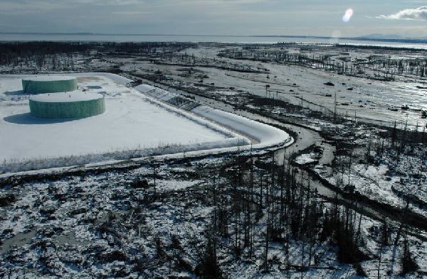
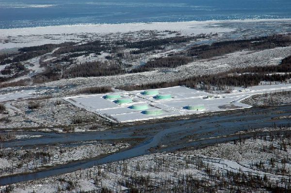
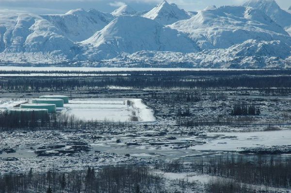
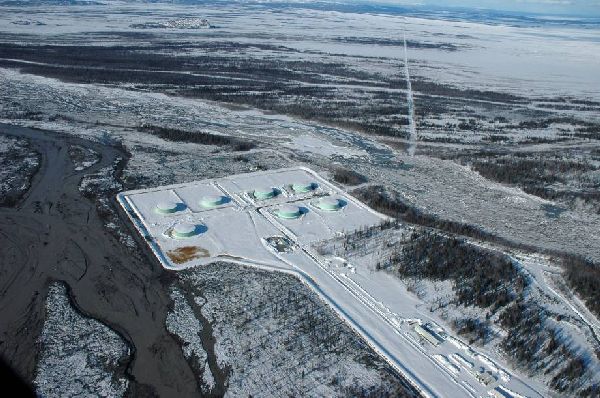
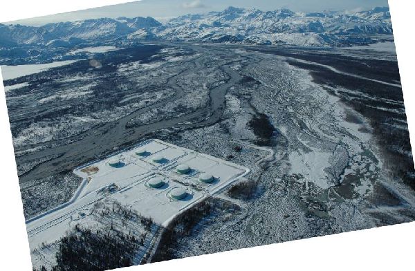
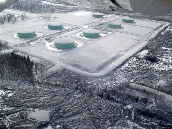
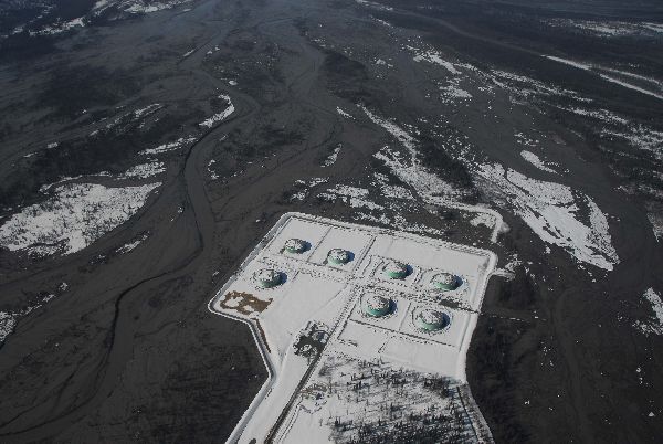
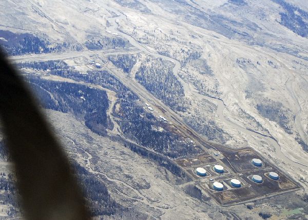
- Drift River Terminal Facility (DRT facility), west side of Cook Inlet, 60° 36.00 N - 152° 11.00 W
- Time/Date
- Potential release
- Spill Id
- 09239908201
- Product/ Quantity
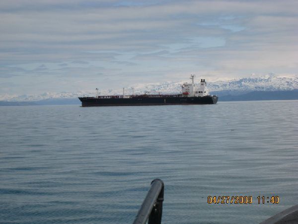
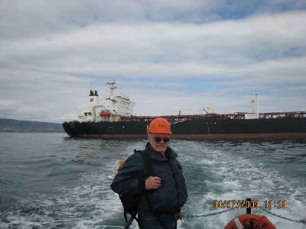
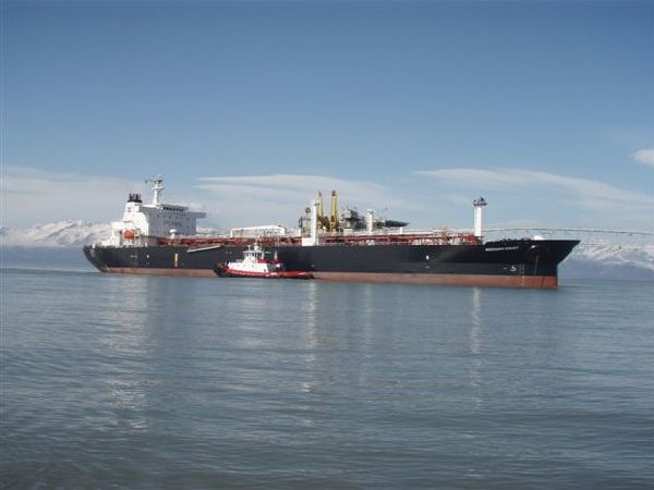
- Potential. Approximately 20,040 barrels (841,680 gallons) of Cook Inlet crude oil, plus diesel fuels and lube oils held at the facility. These figures were revised from previous situation reports, based on additional measurements and confirmation by a third party following the April 30, 2009 offloading of crude oil and seawater to the tanker vessel (T/V) Mississippi Voyager.
- Cause
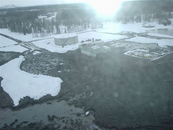
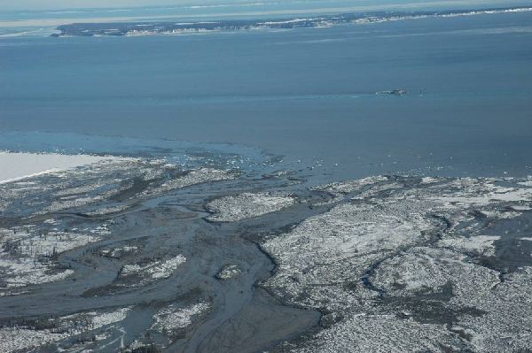
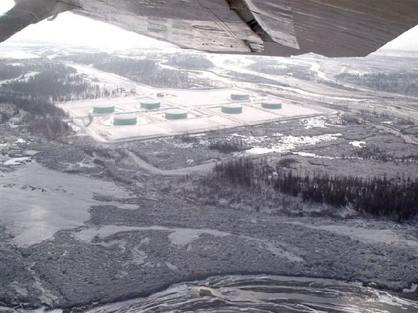
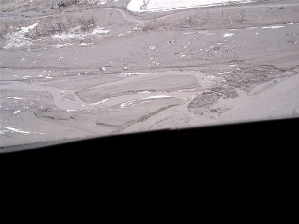
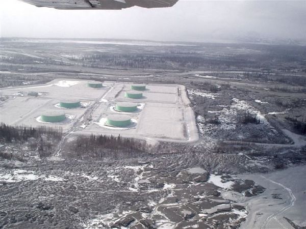
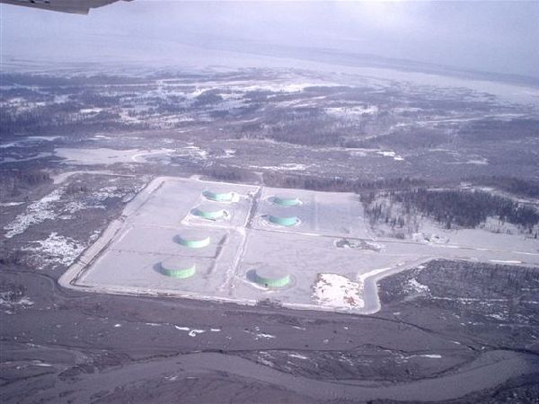
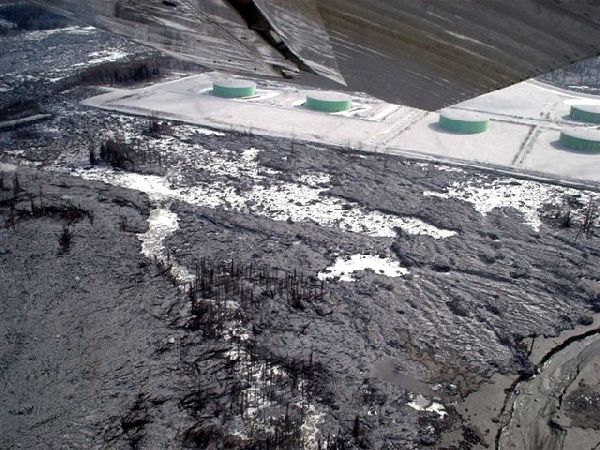
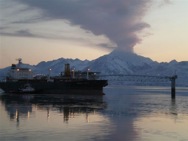
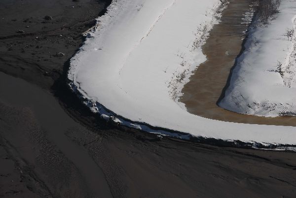
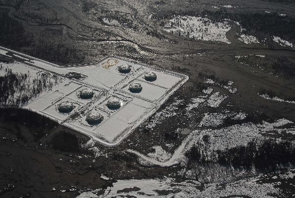
- Volcanic eruption/flooding. Mount Redoubt initially erupted on March 22, 2009 at 10:38 PM, followed by several other eruptions. The resultant lahars (or volcanic mudflows) caused extensive flooding at the Drift River Terminal. However, to date there have been no reports of oil or hazardous substance releases from the facility.
ADEC Situation Reports
- 08/12/2009 (PDF 69K)
- 08/05/2009 (PDF 69K)
- 07/10/2009 (PDF 66K)
- 05/01/2009 (PDF 66K)
- 04/28/2009 (PDF 67K)
- 04/17/2009 (PDF 74K)
- 04/07/2009 (PDF 74K)
- 04/06/2009 (PDF 75K)
- 04/05/2009 (PDF 68K)
- 04/04/2009 (PDF 68K)
- 04/03/2009 (PDF 69K)
- 04/02/2009 (PDF 69K)
- 04/01/2009 (PDF 69K)
- 03/31/2009 (PDF 69K)
- 03/30/2009 (PDF 60K)
- 03/29/2009 (PDF 63K)
- 03/28/2009 (PDF 62K)
- 3/27/2009 (PDF 54K)
- 03/26/2009 (PDF 49K)
- 03/25/2009 (PDF 475K)
- 03/25/2009 (PDF 47K)
Unified Command Press Releases
- May 6, 2009 (PDF 145K)
- April 30, 2009 (PDF 68K)
- April 28, 2009 (PDF 71K)
- April 5, 2009 (PDF 65K)
- April 4, 2009 (PDF 70K)
Incident Action Plans
Unified Command IAPs (abbreviated)
- Period 1 (4/1/2009 0900 - 4/2/2009 0900) (PDF 846K)
- Period 2 (4/2/2009 0900 - 4/3/2009 0900) (PDF 1.36M)
- Period 3 (4/3/2009 0900 - 4/4/2009 0900) (PDF 1.54M)
- Period 4 (4/4/2009 0900 - 4/5/2009 0900) (PDF 863K)
- Period 5 (4/5/2009 0900 - 4/6/2009 0900) (PDF 1.33M)
- Period 6 (4/6/2009 0900 - 4/7/2009 0900) (PDF 1.35M)
- Period 7 (4/7/2009 0900 - 4/8/2009 0900) (PDF 1.08M)
- Period 7 (4/8/2009 0900 - ) (PDF 1.16M)
State/Federal Joint Command IAPs
- Period 1 (3/26/2009 1600 - 3/27/2009 1600) (PDF 630K)
- Period 2 (3/27/2009 1600 - 3/28/2009 1600) (PDF 1.16M)
- Period 3 (3/28/2009 1600 - 3/29/2009 1600) (PDF 1.16M)
- Period 4 (3/29/2009 1600 - 3/30/2009 1600) (PDF 1.62M)
- Period 5 (3/30/2009 1600 - 3/31/2009 1600) (PDF 1.92M)
Media Advisories
- April 4, 2009 -- Unified Command to hold press briefing at USGS Alaska Science Center Saturday, April 4, 1 p.m. (PDF 137K)
- April 6, 2009 -- Unified Command to hold press briefing at the USGS Science Center Monday, April 6, 1 p.m. (PDF 146K)
Fact Sheets
- 4/3/2009: Drift River Terminal Containment, Tank Volumes (PDF 130K)
- 4/4/2009: Spill Response Resources (PDF 79K)
- 4/7/2009: Water Usage Options, updated (PDF 74K)
Resources at Risk
- Critical Habitat Area Map (PDF 116K)
- Resources at Risk for Drift River, prepared by ADFG (PDF 33K)
- Resources at Risk, prepared by DOI (PDF 21K)
- Resources at Risk for the Drift River Tank Farm, Cook Inlet, AK, prepared by NOAA, updated 3/29/2009 (PDF 36K)
- Strong Seasonal Dynamics of Harbor Seals in Cook Inlet, Alaska, prepared by NMFS (PDF 2.2M)
- Stellar Sea Lion Habitat, prepared by NMFS (PDF 160K)







 Indicates an external site.